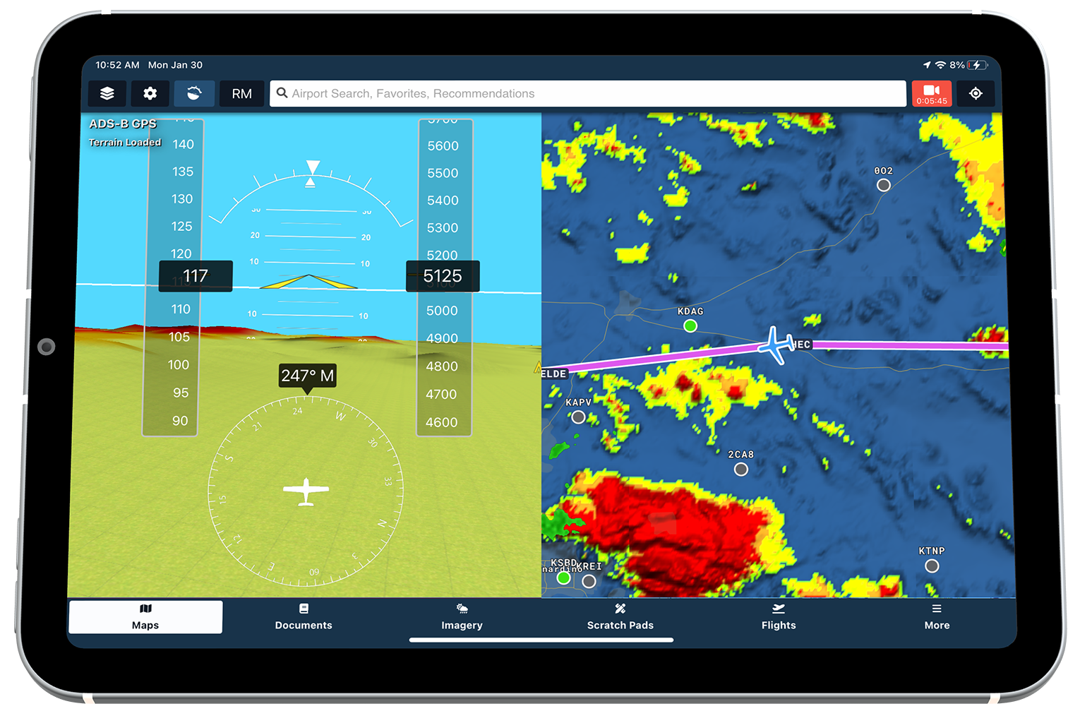
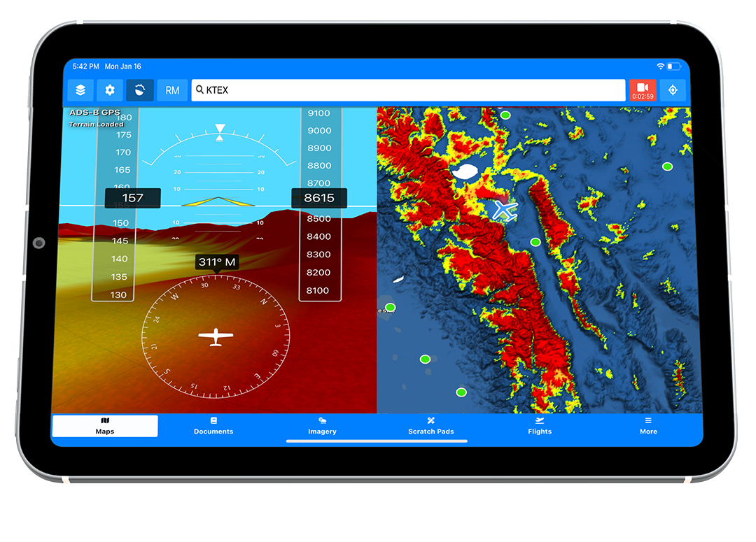
Providing high-performance and visually stunning hazard awareness on all of your devices. Aviator Assistant's Synthetic Vision uses high quality terrain data from NOAA.
See detailed 3D terrain, obstacles, traffic, and runways. Pair with an AHRS-capable ADS-B receiver for backup attitude information & traffic.

Aviator Assistant's Synthetic Vision provides high quality information that can help you stay aware of your position in both normal and emergency situations.
We've also integrated moving traffic targets when connected to a supported ADS-B receiver, showing you relative distance, altitude and call sign.
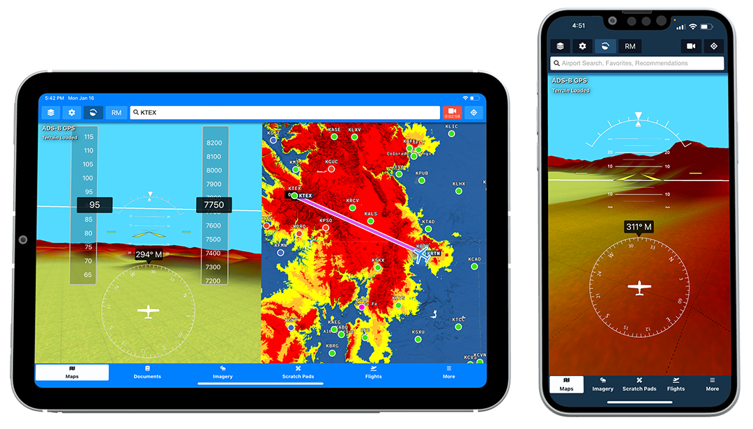
Not only will you see terrain highlighting specific to your altitude in the Terrain Overlay, you'll see this in side of Synthetic Vision too. Adjust the highlighting tolerances specific to your flying style and requirements inside of the User-Preferences section.