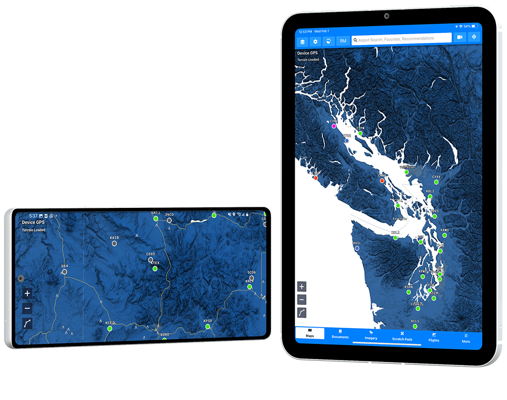
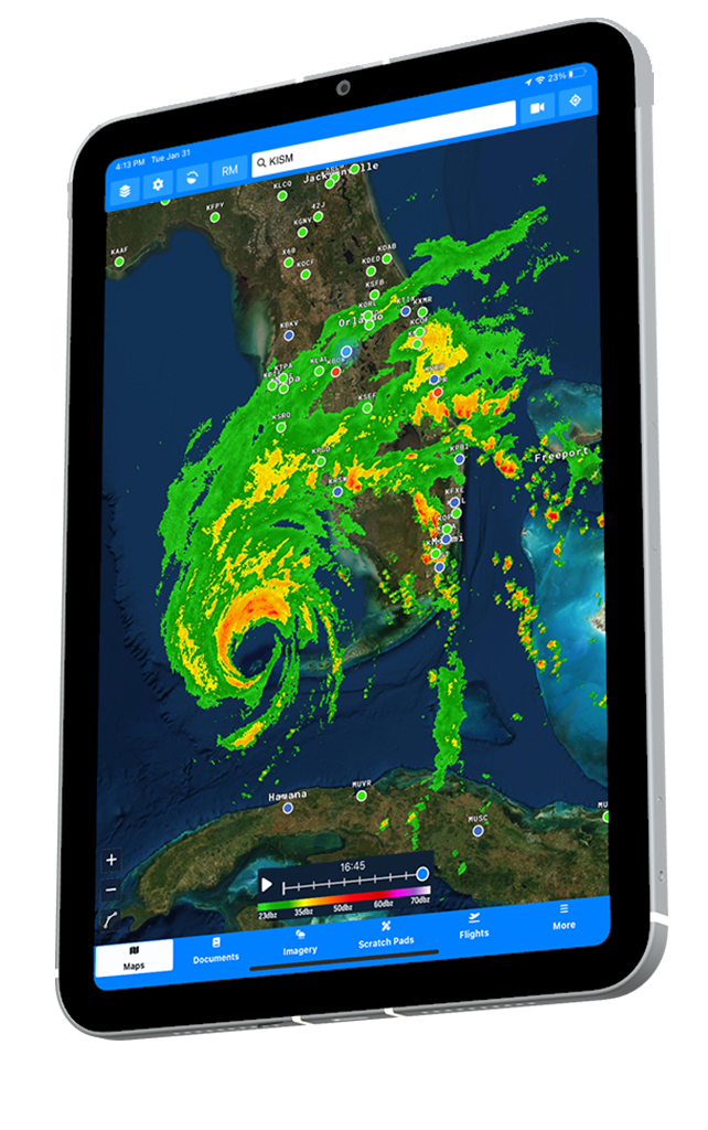
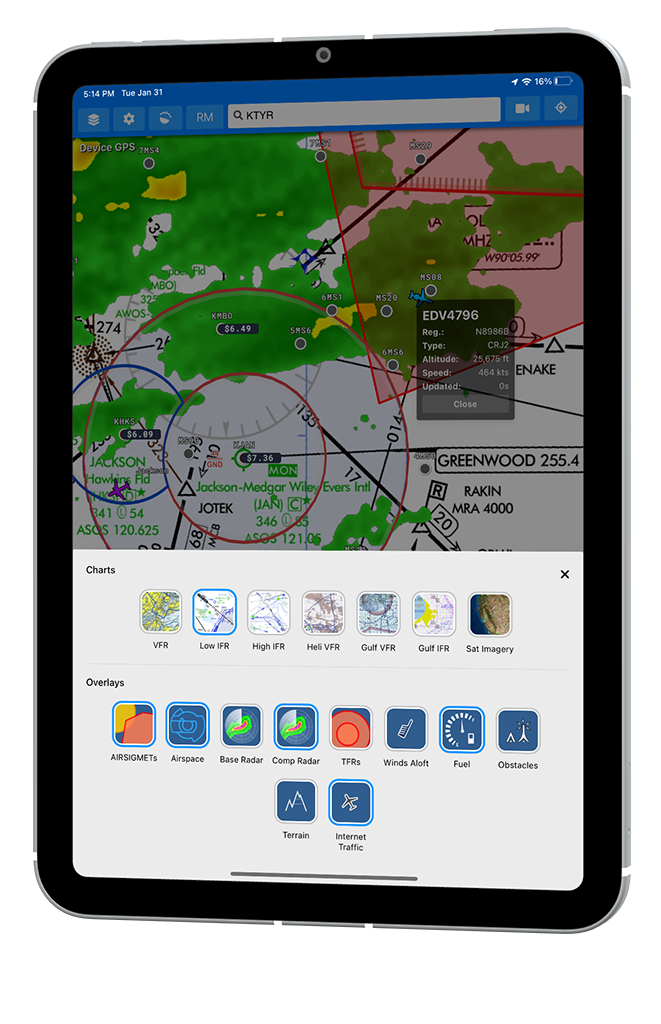
All the data you need at your fingertips. Easily select the supplemental information that you would like to see over the main map in Aviator Assistant.
Providing Airsigmets, Airspace, Weather Radar, TFRs, Winds Aloft, Fuel Prices, Obstacles, and Terrain.


Vital information displayed in one place exactly how you want it. Configure your map view to suit your specific needs.
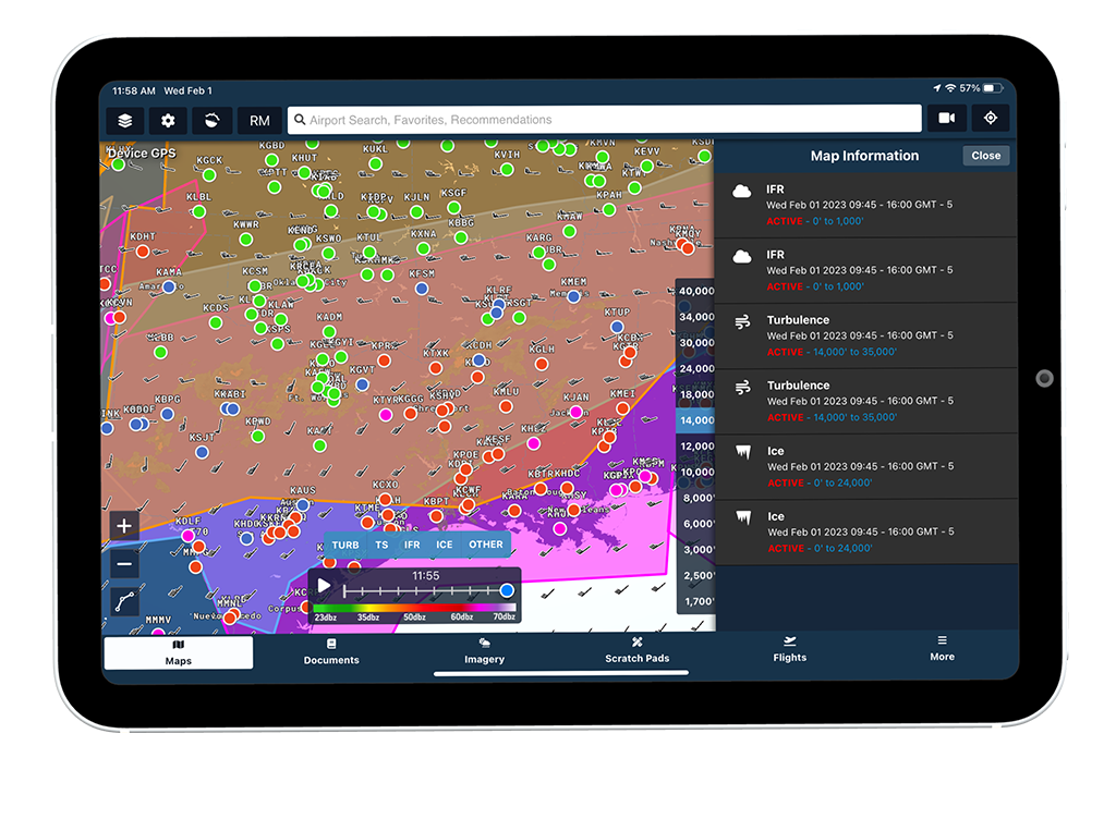
See an excellent overview of Icing, Turbulence, Convective Areas, IFR conditions and more with this map layer.
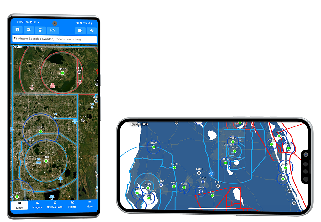
Aviator Assistant provides an easy to read airspace overlay including restricted airspace. Using standard descriptions and coloring how you would expect to see on a VFR sectional chart.
Aviator Assistant provides an accurate, high resolution, and up to date NEXRAD base radar overlay. As you would expect, this is an animated overlay allowing you to view recent history.

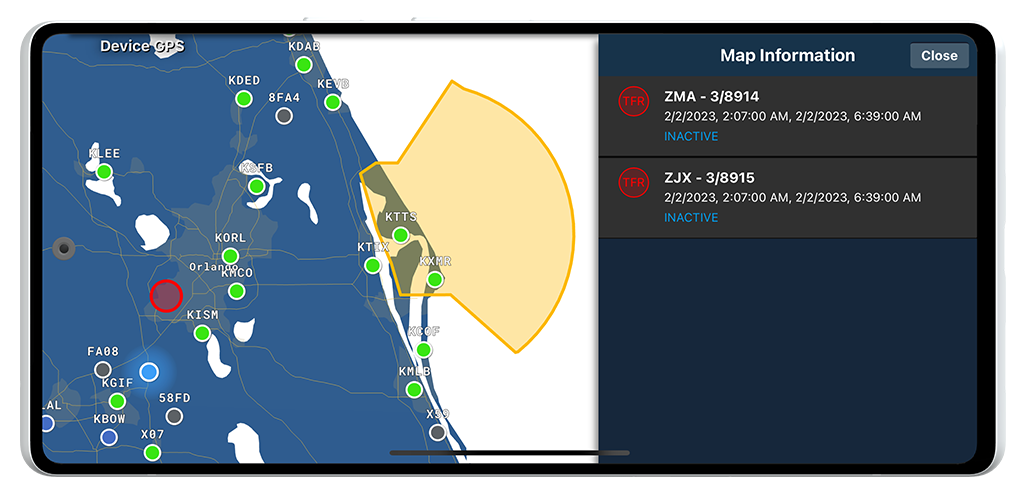
We want to help you steer clear of TFRs and give you as much information as possible while planning your flights. Easily identify TFRs that are active, or will become active soon. Aviator Assistant also provides TFR proximity alerts while in flight.
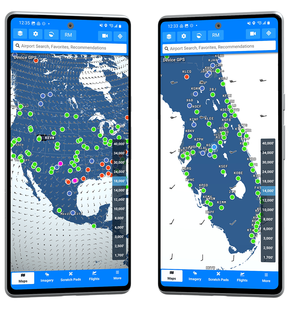
Aviator Assistant provides Winds Aloft information for any point on the planet up to 40,000ft. Aviator Assistant uses this information to help determine the most efficient altitude for your flight.
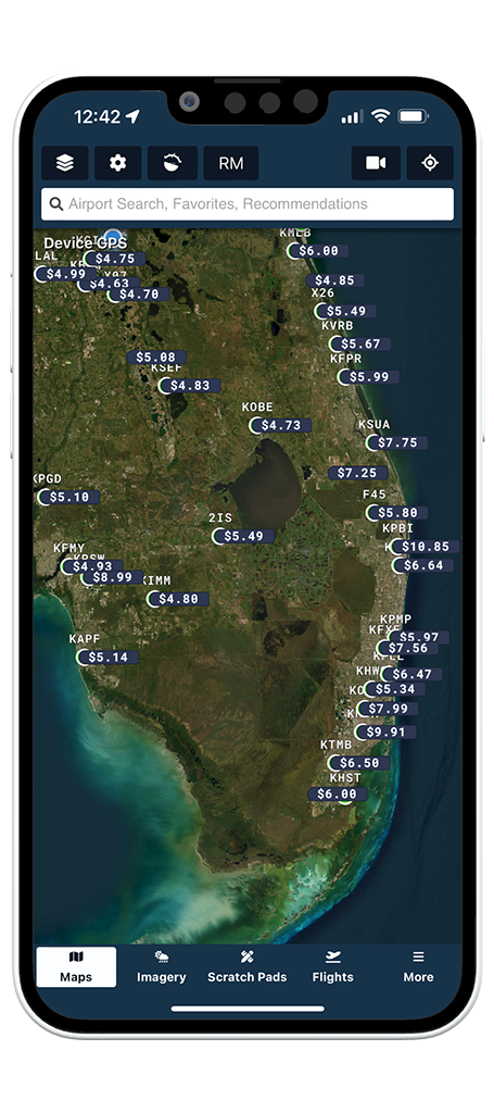
Get an excellent overview of Fuel prices with this overlay inside of Aviator Assistant. Inside of the User Preferences section you can select which type of fuel you would like to see prices for.
Aviator Assistant provides an obstacle overlay to show you uncluttered and easy to identify obstacles around you, both for flight planning purposes and use in flight.
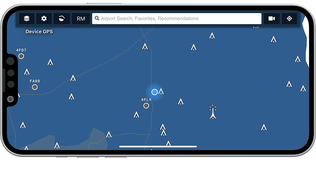
Providing an excellent overview of the terrain around you and the danger it poses. Maintain your situational awareness while flying around mountainous terrain and clearly identify what terrain poses a threat to you.
